Hiking Trails

take a hike
From paved, accessible trails with urban amenities close at hand, to rustic trails through ancient woodlands, there’s a lot to experience when you hit the trails in Duluth.

chester park trail
Access: 1800 E Skyline Parkway
Length: 4.2 mi (includes 2 mi below E Skyline Parkway)
Level of Difficulty: Easy to Challenging

Grassy Point Trail
(Accessible Trail)
Access: End of Lesure St
Length: 0.2 mi (one way)
Level of Difficulty: Easy

Hartley Park Trails
(Partially Accessible Trail)
Access: 3001 Woodland Ave
Length: Varies
Level of Difficulty: Easy to Challenging
Visit hartleynature.org for trail maps and program information.

Hawk Ridge Trails
Access: 4000 Skyline Parkway
Length: 5 mi
Level of Difficulty: Easy to Challenging
Visit hawkridge.org for trail maps and program information.

The Lakewalk
(Partially Accessible Trail)
Access: Canal Park, Rose Garden, 21st Ave E & Water St, 26th Ave E & London Rd, 61st Ave E or Brighton Beach
Length: 7.5 mi (one way)
Level of Difficulty: Easy

Lester Park Trail
Access: 60th Ave E & E Superior St or E Superior St & Lester River Rd
Length: Varies
Level of Difficulty: Easy to Challenging

Lincoln Park Trail
Access: N 25th Ave W & W 3rd St
Length: 0.82 mi
Level of Difficulty: Easy to Intermediate

Park Point Trail
Access: End of Minnesota Ave
Length: 2 mi (one way)
Level of Difficulty: Easy to Intermediate

Piedmont Trail
Access: 2225 Hutchinson Rd
Length: 3.4 mi
Level of Difficulty: Easy to Challenging
Waabizheshikana (Western Waterfront Trail)
Access: 72nd Ave E & Grand Ave, Grand Ave & Pulaski St, or 63rd Ave W & north of Fremont St
Length: 3.2 mi
Level of Difficulty: Easy

Willard Munger State Trail
(May encounter gravel sections)
Access: Grand Ave & 75th Ave W
Length: 4.5 mi (one way; Duluth miles only)
Level of Difficulty: Easy
Visit dnr.state.mn.us for trail maps and program information.

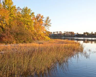
St. Louis River Estuary National Water Trail
The St. Louis River Estuary National Water Trail is a multi-use waterway enabling the public to experience the St. Louis River Estuary amidst the urban landscape of the Twin Ports. The Water Trail map includes 11 loop trails for paddlers of all skill levels and abilities and is intended for various watercraft uses including paddling, boating and fishing. You can learn more about the Water Trail here and find a map at: www.stlouisriver.org/national-water-trail.

Superior Hiking Trail
(Hiking only)
The Superior Hiking Trail is a scenic, challenging 296-mile footpath from Jay Cooke State Park, through Duluth and along the North Shore—gorgeous views of Lake Superior, cascading waterfalls, enchanting forests and day hike section of 2 to 6 miles can be expected. Maps and guidebooks are available at retail stores in both Two Harbors and Duluth.
Access: 11 trailhead parking lots throughout the city
Length: 34.5 mi (one way; Duluth miles only)
Level of Difficulty: Moderate to Challenging
Visit shta.org or call (218) 834-2700 for trail maps, condition reports and events.
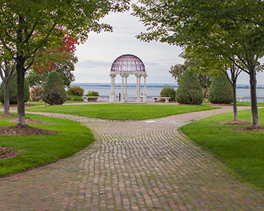
duluth parks
Duluth has more than 130 city parks. Explore parks nestled in pristine forests, unique playgrounds, urban gardens and beautiful parkland throughout the city.